The following is a press release from the Icelandic Crisis Coordination Centre, Skogarhlid.
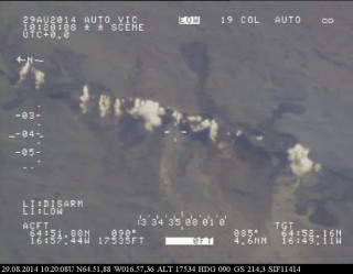
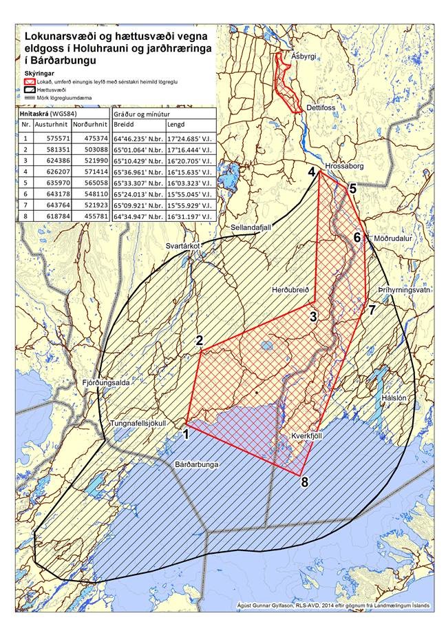
 The volcanic eruption in Holuhraun continues to be strong and the activity is similar as it has been for the last two weeks but the lava flow is more fluctuating. The lava flow forms an extrusion to the east southeast. From mid-September the productivity of the eruption has decreased. Seismic activity in Bardarbunga continues to be strong. The biggest earthquake that was detected since noon on Wednesday, 18. November at 00:26 was of magnitude M4,6. In total 16 earthquakes bigger then M4,0 were detected over the period and 39 earthquakes between M3,0-3,9.
In total 170 earthquakes were detected in Bardarbunga since noon on Wednesday. On Thursday, 20 November at 08:46 an earthquake of magnitude M1,9 was detected in the dyke. Three other earthquakes larger then M1,5 were detected in the dyke since Wednesday. In total 65 earthquakes were detected in the dyke over the period, which is more activity then has been detected over the past few weeks. Most of the earthquakes were detected in north end of the dyke but about 15 earthquakes, including the larger ones, were more to the south and under Vatnajokull glacier. The subsidence of the Bardarbunga caldera and tectonics continues with similar rate as last few weeks. Tectonics movements show depression towards Bardarbunga.
The Aviation Colour Code for Bardarbunga remains at ‘orange’.
Air quality:
- Today (Friday), gas pollution is expected to the north of the Holuhraun eruption site. Tomorrow (Saturday) gas pollution is expected in the Western part of Iceland.
- The Icelandic Met Office provides two-day forecasts on gas dispersion from the eruptive site in Holuhraun. Most reliable are the forecast maps approved my meteorologist on duty, see Gas forecast. And although still being developed further, an automatic forecast, see Gas model, is also available (trial run, see disclaimer).
- Measurements of air quality can be found on the webpage www.airquality.is Data from handheld gas monitors, spread around the country, can also be found on that page
Instructions from the Crisis Coordination Centre:
- People who feel discomfort are advised to stay indoors, close their windows, turn up the heat and turn off air conditioning. Use periods of good air quality to ventilate the house. People experiencing adverse effects should be in immediate contact with their healthcare centre. Measurements of air quality can be found on the webpage www.airquality.is The Meteorological Office issues forecast on its web-page and warnings if conditions change to the worse.
- Instructions from The Environment Agency of Iceland and Chief Epidemiologist can be found on their web-sites.
- Check the Icelandic Met Office forecasts for sulphuric gas dispersion on the web as described above.
- Handheld meters have been distributed around the country for SO2 measurements three times a day.
- Information and any questions on air pollution can be sent to The Environment Agency through the email gos@ust.is. The Environment Agency is especially looking for information from people who have been in contact with high concentrations of gas; where they were, at what time it happened, how the gas cloud looked (colour and thickness of the cloud) and how they were affected by it.
Three scenarios are considered most likely:
- The eruption on Holuhraun declines gradually and subsidence of the Bardarbunga caldera stops.
- Large-scale subsidence of the caldera occurs, prolonging or strengthening the eruption on Holuhraun. In this situation, it is likely that the eruptive fissure would lengthen southwards under Dyngjujokull, resulting in a jokulhlaup and an ash-producing eruption. It is also possible that eruptive fissures could develop in another location under the glacier.
- Large-scale subsidence of the caldera occurs, causing an eruption at the edge of the caldera. Such an eruption would melt large quantities of ice, leading to a major jokulhlaup, accompanied by ash fall.
Other scenarios cannot be excluded.

